Virginia's Premier Drone Services
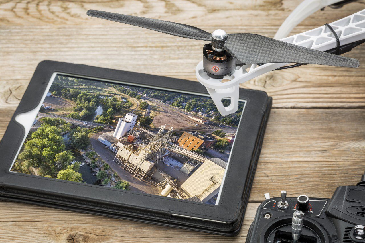
Precise Hovering Drones delivers a wide range of specialized drone services, from solar panel inspections and roof surveys to construction site mapping. We cater to both residential and commercial clients across Virginia, ensuring each project receives the highest standard of care and accuracy. By utilizing the most advanced drone technology available, we ensure your needs are met with efficiency, reliability, and professionalism.
Wide Range of Drone Solutions
Solar Panel Inspections
Efficient and detailed inspections for both residential and commercial solar systems to maximize performance and identify potential issues.
Aerial Mapping & Surveying
Accurate topographic data for construction, land surveying, and real estate, helping you achieve better project planning and execution.
Roof Surveying
Safe and precise roof inspections, eliminating the need for ladders and scaffolding, while providing high-quality results for residential and commercial properties.
Real Estate Aerial Photography
Stunning aerial shots to enhance real estate listings, capturing every angle to help properties stand out and attract potential buyers.
Construction Site Mapping & Photography
Comprehensive aerial site monitoring, tracking project progress, and ensuring quality with detailed photos and maps for construction management.
Thermal Imaging Inspections
Detect hidden issues like leaks, electrical faults, or insulation problems with advanced thermal imaging technology, saving you time and money.
Drone Safety and Awareness
As drone technology continues to evolve, it is essential for drone pilots to prioritize safety and adhere to regulations to ensure successful project execution. Several factors can prevent a drone pilot from initiating or completing a project or event, including:
- Weather Conditions: Inclement weather poses significant risks for drone operations. Conditions such as rain, freezing rain, sleet, hail, snow, heavy fog, and wind speeds exceeding 15 MPH (or gusts above 20 MPH) can compromise flight safety and the quality of aerial footage. Pilots should monitor weather forecasts and be prepared to adjust plans accordingly.
- Airspace Regulations: Compliance with Federal Aviation Administration (FAA) regulations is paramount. If a project or event occurs within restricted airspace, the drone pilot will be unable to fly, with no exceptions. This includes areas such as national parks, where drone operations are prohibited. Understanding and respecting these boundaries is crucial for legal and safe drone use.
- Quality Concerns: Flying in adverse weather or restricted areas can result in subpar imagery, including unstable or unclear pictures and videos. It is vital to prioritize conditions that enable optimal performance and image quality.
- Certification: Ensure that your drone pilot is FAA Part 107 certified. This certification demonstrates that the pilot has the necessary knowledge and skills to operate drones safely and in compliance with federal regulations.
Before finalizing any project or event involving drone operations, it is advisable to consult with your drone pilot for a comprehensive discussion. They can provide insights into potential challenges and help ensure a successful outcome. Prioritizing safety and regulatory compliance will contribute to a more efficient and effective aerial photography or videography experience.
Drone Laws
As drone technology continues to advance rapidly, public understanding of laws governing drones, their capabilities, and their broad applications in modern society often remains limited. To address common misconceptions and clarify key regulations, here are a few essential facts about drone operations:
- It is illegal to interfere with drones: Shooting down a drone or throwing objects at it is a FELONY. Drones are classified similarly to manned aircraft and are protected under federal aviation laws.
- Altitude restrictions apply: Certified drone pilots are legally required to operate drones at altitudes below 400 feet.
- Licensing requirements: Drones weighing less than 0.55 pounds (250 grams) can be flown without the need for a license.
- Addressing unlawful operations: If you suspect a drone is operating in violation of the law, it is advisable to contact the Federal Aviation Administration (FAA) or local authorities.
- Property and airspace: As a private citizen, you cannot unilaterally declare your property a no-fly zone, as airspace regulation falls under federal jurisdiction.
- Night operations are permissible: With the appropriate equipment and compliance with regulations, drones can legally be flown at night.
These guidelines represent only a snapshot of the current laws and policies governing drone usage. For a comprehensive understanding of drone regulations and procedures, you are encouraged to visit the FAA’s official website at FAA.gov or contact the FAA directly.
And Much More
From custom solutions to unique projects, we tailor our drone services to meet your specific needs-if you can imagine it, we can fly it!
- Photogrammetry
- Aerial Videographer
- 2d mapping
- 3d modeling
- Cinematographer
- Multispectral Imaging
- RTK - Real Time Kinematics
- Orthomosaic
- Thermal Point Cloud Imaging
- Thermal Orthomosaic
- Digital Twin
- Aerial Inspection
- Aerial Infrastructure Inspection
- Aerial Construction Site Analysis
- AI Analysis Software for Drone Flight Planning
- Construction Stockpile Analysis
- Construction Site Monitoring
- Facade Inspection
- Volumetrics
Connect for Drone Services
Contact Precise Hovering Drones today to discuss how our drone services can enhance your business or home. Whether you're seeking real estate aerial photography or a detailed thermal imaging inspection, we're here to help with solutions tailored to your specific needs.
